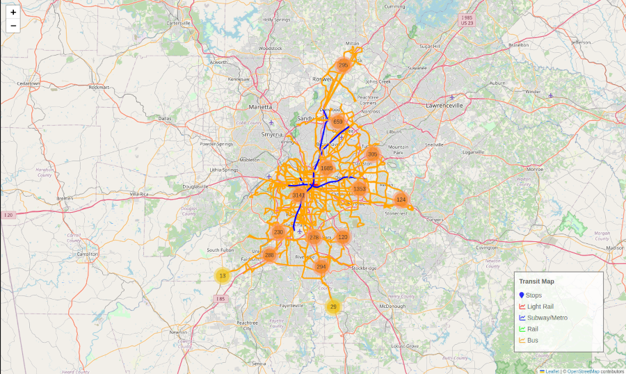
Interactive Mapping with Python: Building a Transit Visualization using Folium
Folium makes it easy to create beautiful interactive web maps in Python by combining the…
Folium makes it easy to create beautiful interactive web maps in Python by combining the…
